
New Locality Profiles Published
Locality profiles for the seven localities in Shetland, alongside a profile for Shetland have been published.
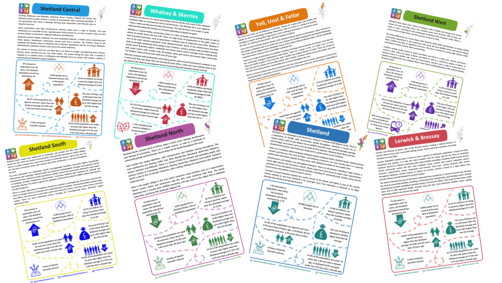
The localities are:
- Yell, Unst & Fetlar
- Shetland North
- Shetland Central
- Shetland West
- Shetland South
- Lerwick & Bressay
- Whalsay & Skerries
Locality profiles provide detailed information at a local level. They are useful for a number of reasons including service redesign, local plans and maximising opportunities to seek external funding to support community development.
The profiles provide data on demographics, economy, education, environment, health and housing. Profiles will be updated every two years, however, the data will be monitored more regularly, with the most recent data available on request.
The profiles draw on administrative data such as population statistics and the percentages of children living in low income families; data from the NHS Shetland Population Health Survey 2021, school rolls and includes environmental information such as Sites of Scientific Interest.
The data in the profiles, alongside further indicators were initially brought together by officers and data analysts from NHS Shetland and Shetland Islands Council Community Planning and Development team to determine whether there was an area in Shetland experiencing particular disadvantage. The reason for this, is that in addition to publishing a Local Outcomes Improvement Plan (the Shetland Partnership Plan), the Community Empowerment (Scotland) Act, 2015, places a statutory duty on partners to produce Locality Plans at a local level for areas experiencing particular disadvantage. When comparing socio-economic outcomes, it was determined that there was not a locality which experienced a significant level of disadvantage compared to the others. Shetland’s communities are diverse, experiencing a mix of worse and better socio-economic outcomes, between localities, but also within localities.
The Management and Leadership Team of the Shetland Partnership therefore agreed that a further Locality Plan would not be necessary. Instead, Shetland’s approach to locality planning will be achieved through the new Shetland Partnership Delivery Plan. There is a Locality Plan for Islands with Small Populations which has been in place since 2020 due to the evidence base for those islands; which you can read more about here.
There were over 40 indicators looked at, with around 18 being used for the Locality Profiles. The Locality Profiles are designed to be a snapshot of the Locality with some comparisons to the Shetland data; and they include a blurb about the localities, contact details, data sources, and links to the website for more information. They are updated versions of the profiles produced in 2018: Old Locality Profiles – Shetland Partnership.
Once draft Locality Profiles were created, Community Councils and Community Development groups were invited to attend a meeting in their local area to have a look at the profiles and ensure they were easy to understand, consider how they could be used, and make sure that they were happy with the written text. Shetland Partnership is very grateful to those who gave their time to attend and provide feedback on the profiles, and changes were made where possible following these meetings.
You can find the new profiles following the link below. If you would like to discuss the locality profiles, you can email shetlandpartnership@shetland.gov.uk.